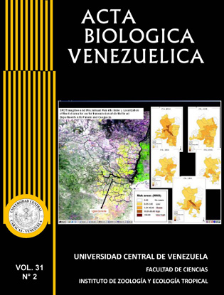
SPATIAL-TEMPORAL ANALYSIS OF MALARIA IN ENDEMIC AREAS OF PARAGUAY, 2002-2006
Palabras clave:
malaria and satellites, spatial technology, malaria modelling, malaria and environmental monitoring, endemic malaria in ParaguayResumen
In the 60s, malaria cases were notified in the 90% of the Paraguayan territory, mainly affected by the transmission of Plasmodium vivax. Currently, malaria persistence is reported in only 3 out of 17 departments as a result of continuous operational control activities performed since 1959. The information on human cases has been registered periodically (monthly) from 2002 to 2006. NOAA and Spot Vegetation satellite images, obtained in this period of time to be used for spatial and temporal analysis of malaria cases, were evaluated to determine possible environmental risk factors associated to areas with persistence of disease cases. The region under study involves the districts with the higher number of cases and is also characterized by the presence of a big lake named “Yguazu” that is associated to a hydroelectric dam. These space technologies allowed the assessment of the spatial-temporal evolution of the lake area in the period under study demonstrating a relation of the environmental parameters with the incidence of malaria during those years. A high-spatial resolution remote sensing is needed to evaluate if temporary and relatively small ponds could be associated to the dynamic of the lake and with the dam, creating a variable environment where mosquitoes can thrive thus contributing to the transmission and spread of this disease.


