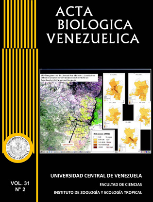
SOFTWARE DEVELOPMENT TO EXPLOIT EARTH OBSERVATION DATA FOR HUMAN HEALTH: MONITORING HARMFUL ALGAL BLOOM
Palabras clave:
algal bloom, SST, phytoplankton, risk maps, satellite image, geo-referenced thematic layers, ENVISAT, risk assessment.Resumen
A software tool aimed to create risk maps has been developed for monitoring intense proliferation of phytoplankton in the ocean through satellite imagery. This phenomenon, known as algal bloom, can cause severe poisoning in humans, and even death, due to ingestion of shellfish and other sea products contaminated with phytoplankton-produced toxins.Usingdata from the instruments MERIS and AATSR on board the European Space Agency ENVISAT satellite, it is possible to develop geo-referenced thematic layers with information closely related to the studied phenomenon such as sea surface temperature (SST), chlorophyll concentration, suspended sediments and other optical properties.This paper describes the design and implementation of a software tool highly friendly and configurable that allows anyone to analyse on line the environmental data obtained by remote sensing. In addition to the possibility of requesting risk maps with configurable thresholds, the users can process these data, according to their interests, through a matrix definition.


